Marchs Pond to Be Studied as Part of NASA-Funded Research Project
In May, a group of scientists began work to better understand how the amount of water in Marchs Pond
is changing over time, and what factors may be influencing those changes. The team worked with Camp
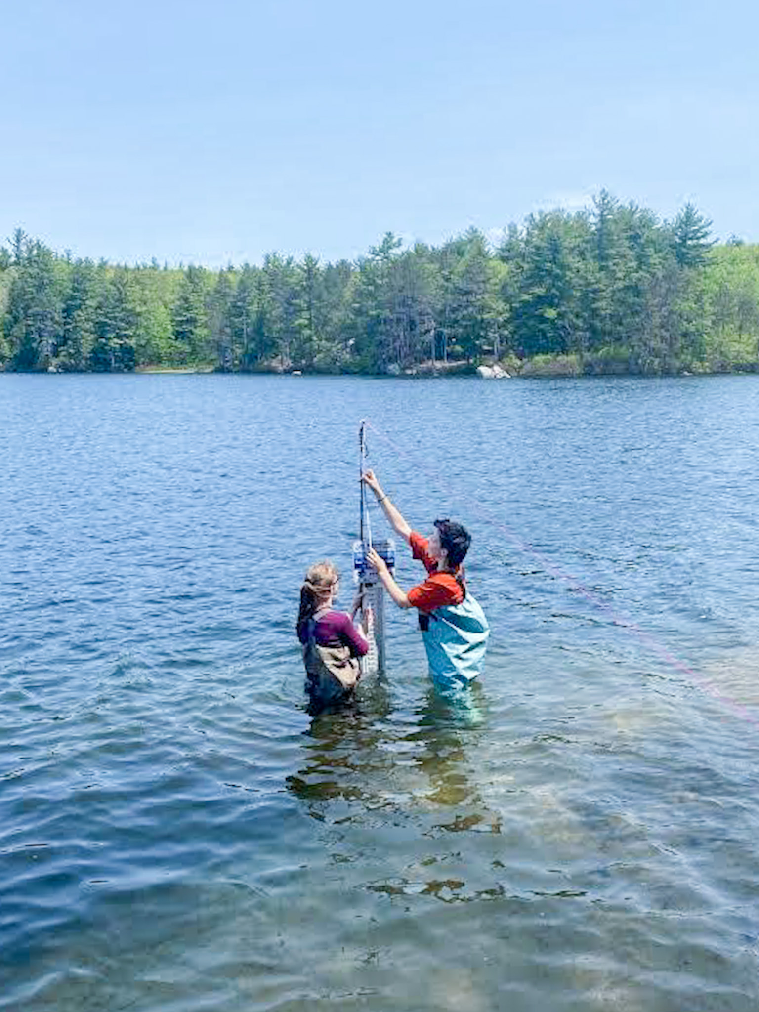
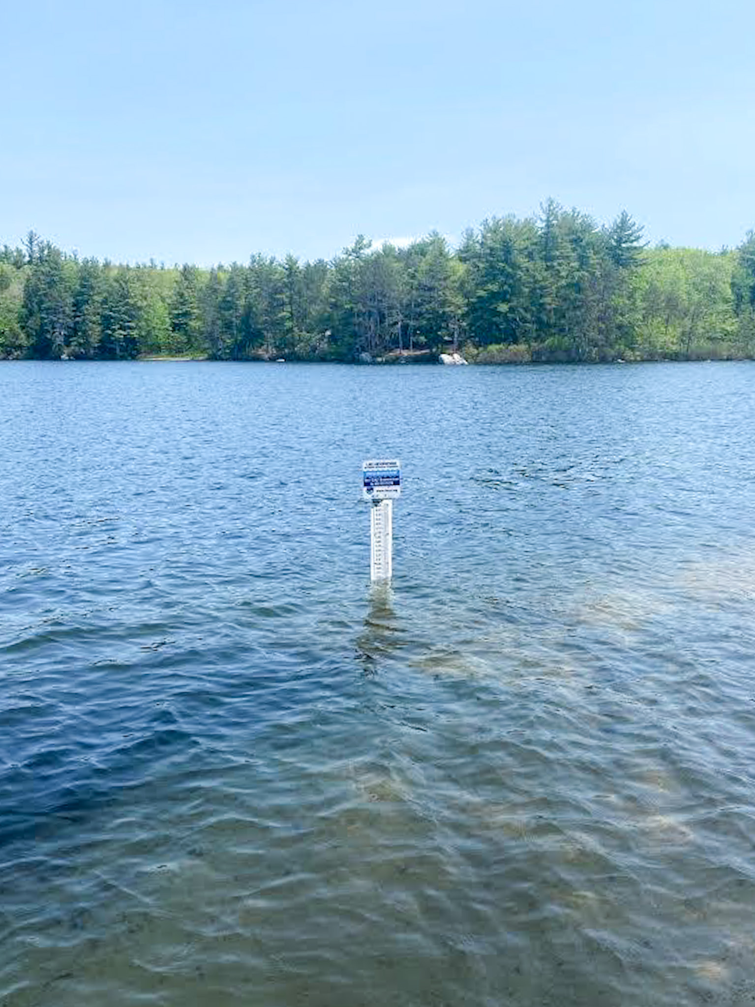
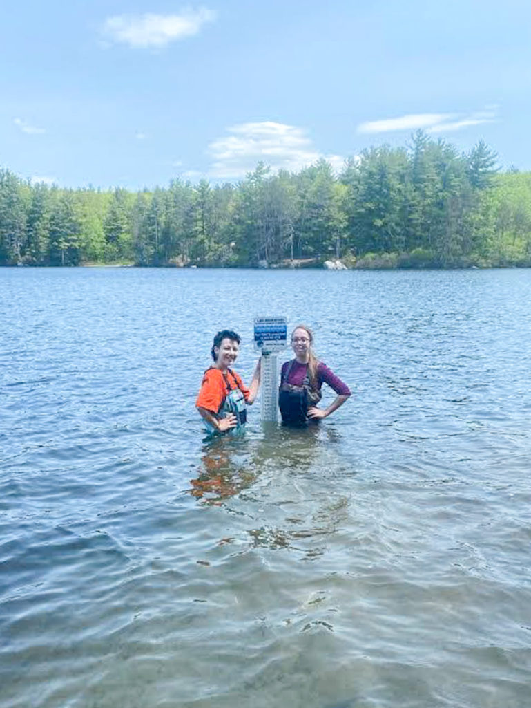
Birch Hill’s Chrissy Morell Carter to install a lake gauge in the pond. The gauge is essentially a 3 foot
long ruler that is installed vertically on a post, and is used to monitor how the lake height raises or
lowers over time.
Marchs Pond is now part of the Lake Observations by Citizen Scientists and Satellites (LOCSS) project.
LOCSS is a NASA-funded project run by the University of North Carolina at Chapel Hill that is currently
studying more than 150 lakes in the United States, Canada, France, Bangladesh, India and Pakistan. The
goal of the project to monitor how the amount of water in the lakes is changing.
Citizen Science is the involvement of the general public in scientific research, and citizen scientists are
the people who are not trained as scientists but participate in this work. LOCSS is unique in that it
combines data from both citizen scientists and satellites to better understand lakes. Images collected by
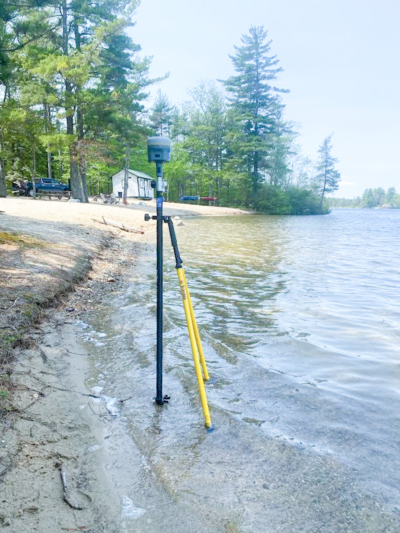
NASA satellites which pass over Marchs Pond every 16 days are used to calculate the surface of the lake,
and help us understand how the lakes surfaces is changing over time. In addition, citizen scientists can
report how the lake height is rising or lowering by sending the height in a text message to a phone
number listed on a sign near the gauge. The LOCSS team then combines the lake height measurements
from citizen scientists with the lake surface area measurements from satellites to determine how the
amount of water in the lake is changing.
Marchs Pond is an ideal lake to include in the study for a number of reasons. It is a naturally formed
pond and people are not artificially raising or lowering the water level as they might with reservoirs. So
understanding how the amount of water in it changes helps us understand the hydrology (how water
moves in relation to the land) of the area. It is also nearly 75 acres in size, meaning that it can easily be
studied from space using satellite data. In addition, it is one of 19 study lakes in the state of New
Hampshire. The LOCSS team will be able to compare the hydrology of Marchs Pond with that of other
lakes in the state to determine if changes in lake volume are due more to local factors, such as drainage
and runoff in the watershed, or regional factors such as weather and climate.
Perhaps most importantly, though, is that the gauge in Marchs Pond is located just off the shoreline at
Camp Birch Hill, making it possible for a large number of people to engage with the project by
submitting lake height measurements. One benefit of incorporating citizen science methods into
scientific research is that participants have an opportunity to contribute to better understanding a
resource that they care about, and it can help connect the community to the lake, leading to a larger
effort to protect it. Additionally, the LOCSS team has found that citizen scientists are contributing high
quality data, finding that their measurements are accurate to within about 1.6 cm on average. This high
quality data will help LOCSS researchers better understand Marchs Pond.
To see how lake heights are changing in Marchs Pond, check out the LOCSS website. And to participate
in the project, simply use your phone to report the lake height on your next visit to Camp Birch Hill.
Written by: Grant Parkins.
LOCSS Project Coordinator.
Institute for the Environment.
University of North Carolina at Chapel Hill.
LEARN MORE ABOUT CITIZEN SCIENTIST PROJECTS IN NEW HAMPSHIRE: